Category Archives: 3D
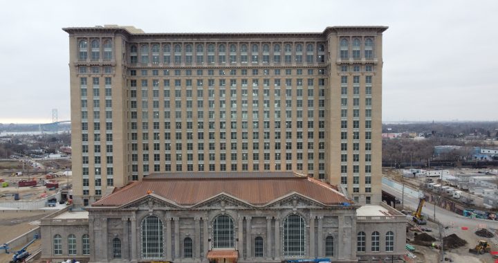
Detroit’s Grand Central Station in a 3D Model.
I flew the drone around the building that is being remodeled by Ford Motor Co for use as office space.
Obviously I did not realize how high the building was and did not get the drone high enough to get good photos of the top floors and roof!
I have edited by flight plan map and hopefully will capture the missing details when the weather is good enough to fly again.
I made a second attempt at this. Did a lot better, but looks like I was still to close to the roof to get good results. I think I was at and altitude of 350′ so not a lot more I can go.
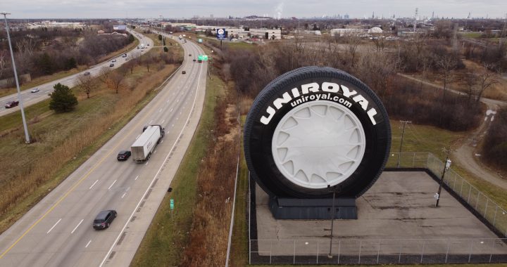
Uniroyal Tire 3D
Just playing around with making 3D images. This is a large “Tire” near the I-94 interstate in Allen Park Michigan. It is created by skinning an old Ferris Wheel.
I made another flight plan and flew it again. I think doing the “Map” on top of the orbit gave me more detail in the top of the tire.

Lidar Scan from iPhone of Fan
It’s sometimes pretty amazing what a “simple” phone can do these days. I have gone from using a very clunky and unreliable “Bag Phone” (where you had to pull over on an overpass, stick an antenna to the roof of the car and *hope* you would get a signal.) to a (almost) super computer held in your hand.
Anyway I digress. My new iPhone 14 can use Lidar to scan an object and create a 3D model of it. So simple….
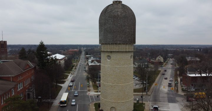
Ypsilanti Water Tower in 3D
I have been working a week to try and get some type of 3D image on the web site. FINALLY was able to get a plugin that worked for me.
I also had to update to Blender 3.4 to allow me to export to .glb and .glft formats. I was intentionally using older 2.7 version since that is what was supposed to work with the QGIS2Threejs plugin for QGIS.
I think some of my problem was in getting the image aligned on the correct planes. It just did not show up if it isn’t aligned just right.
Now to try a few of the others I have. Maybe even get better at cutting off loose parts and things that do not add to the image.