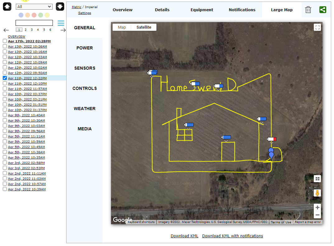
Just for fun I used a flight mission planning program, Dronelink, to make a drawing using the DJI Mini 2 drone. My first attempt came out okay I think.
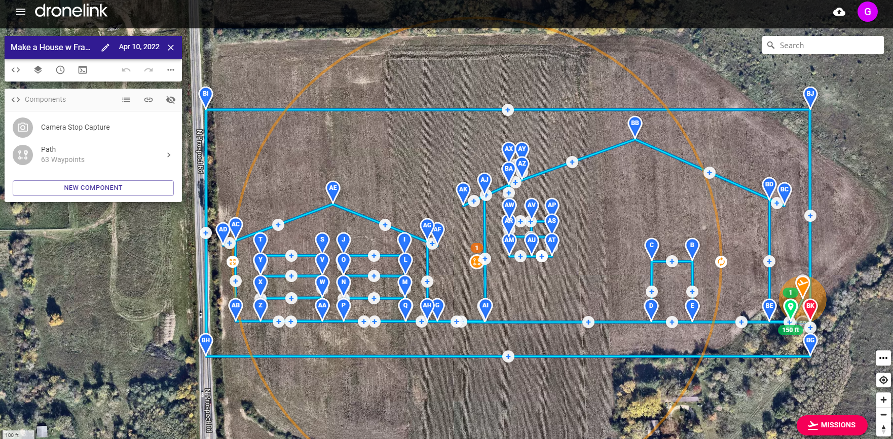
This is the actual planning layout on Dronelink. Not so hard, just a little time consuming to add all the waypoints, then edit the coordinates to make sure things come out square.
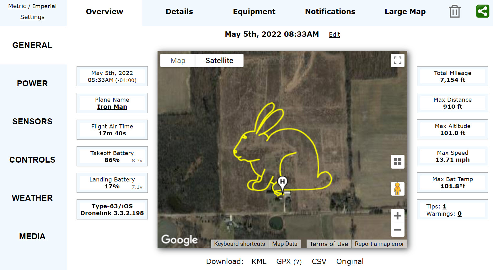
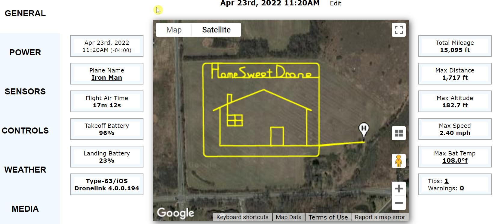
This is the flight that was actually flown. The drone records the path as a series of GPS coordinates that can then be viewed using various programs. I happen to use AirData, which outputs lots of metrics on the drone flight, along with a nice drawing of the path flown.
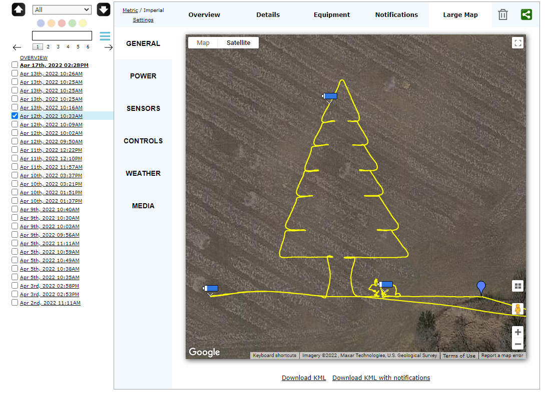
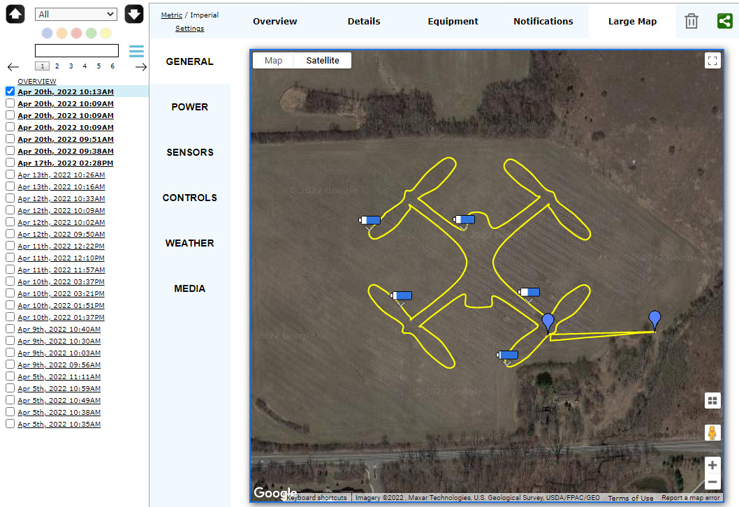
When the GPS loses signal, bad things start to happen. Mostly it loses it’s way and stops flying. It then patiently waits for the pilot to take control and attempt to get it back on path, fly manually, or perform a “RTH”, or Return To Home to try again.
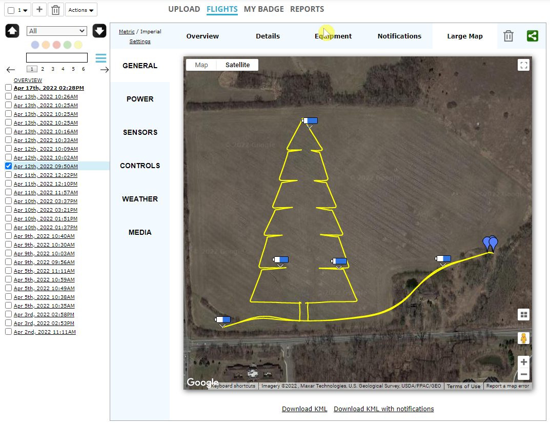
The kite started off well, then lost signal and went a little wacky on the tail! Need to try again on a calm day.
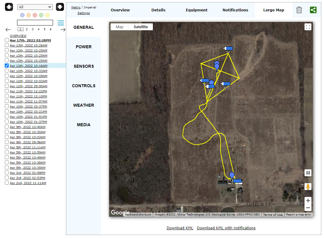
Another one that lost signal and went off course. Maybe it is the location in which I am flying, or maybe I need to download the flight plan to the controller at home first.
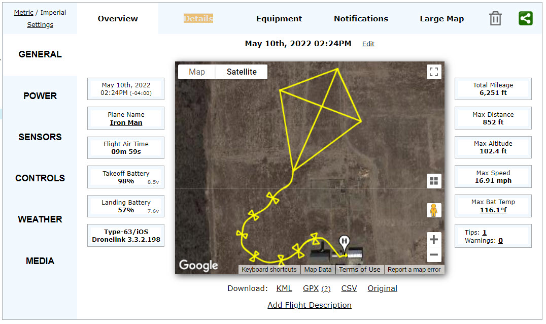
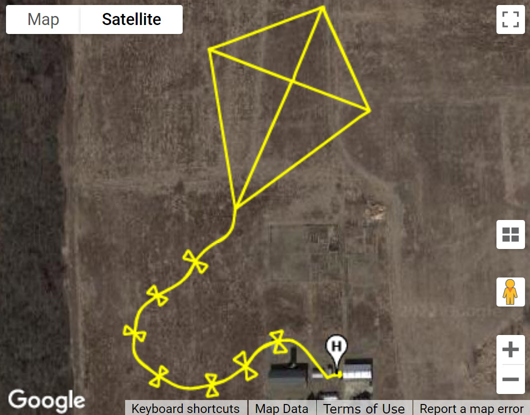

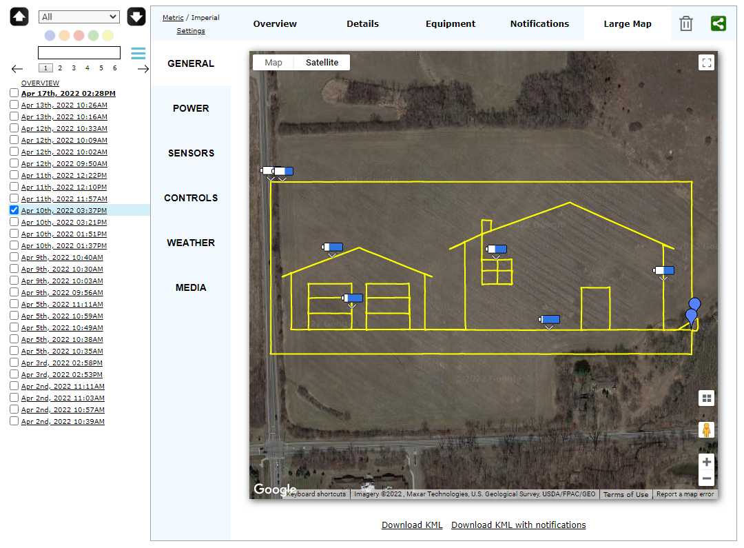
Success!
I knew when I started this one that the battery was to low, but wanted to see how it worked. Will try again when I have a battery at 100% with me.