I have been working a week to try and get some type of 3D image on the web site. FINALLY was able to get a plugin that worked for me.
I also had to update to Blender 3.4 to allow me to export to .glb and .glft formats. I was intentionally using older 2.7 version since that is what was supposed to work with the QGIS2Threejs plugin for QGIS.
I think some of my problem was in getting the image aligned on the correct planes. It just did not show up if it isn’t aligned just right.
Now to try a few of the others I have. Maybe even get better at cutting off loose parts and things that do not add to the image.
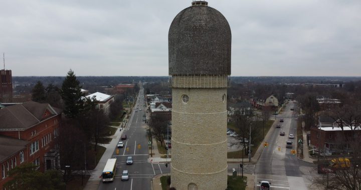
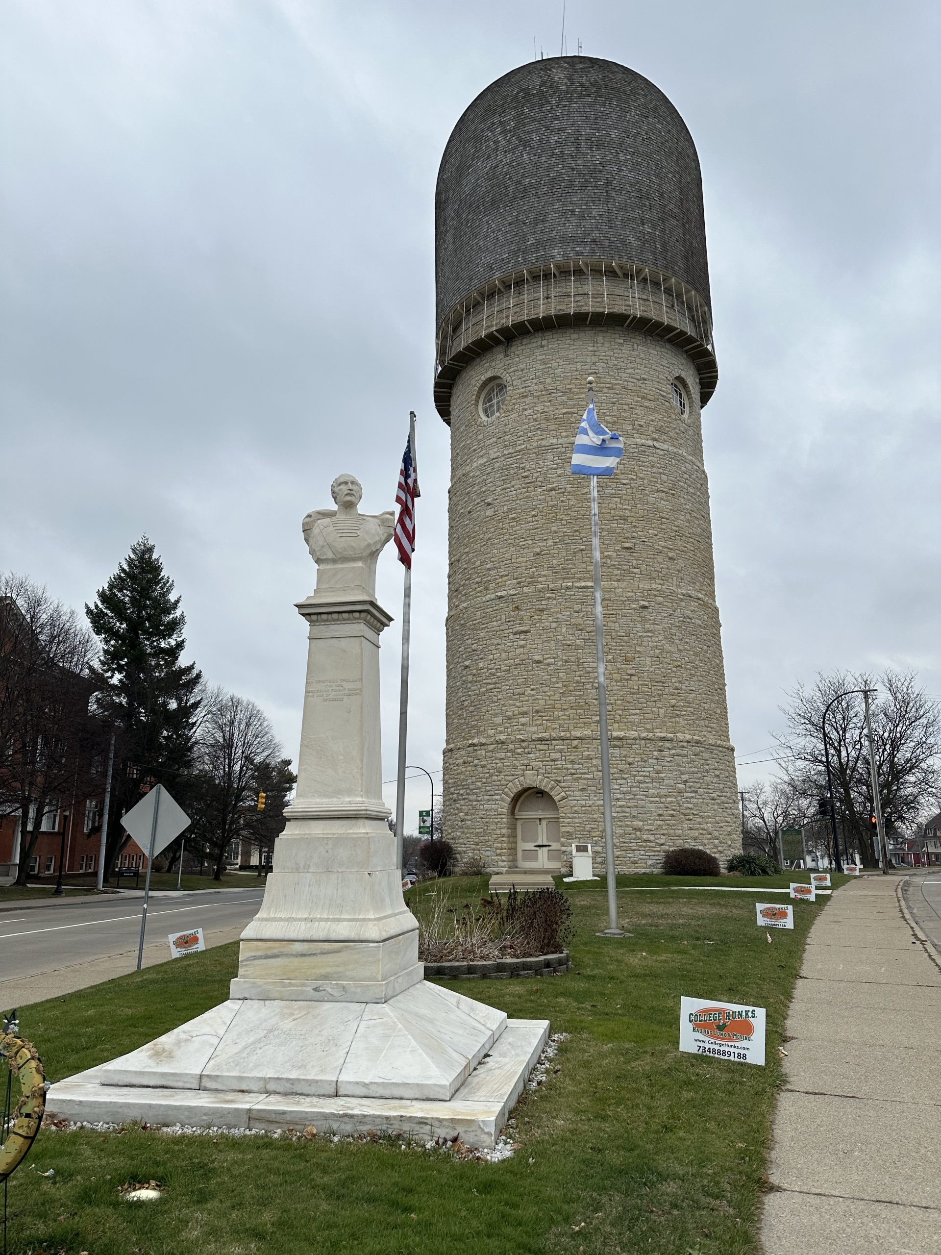
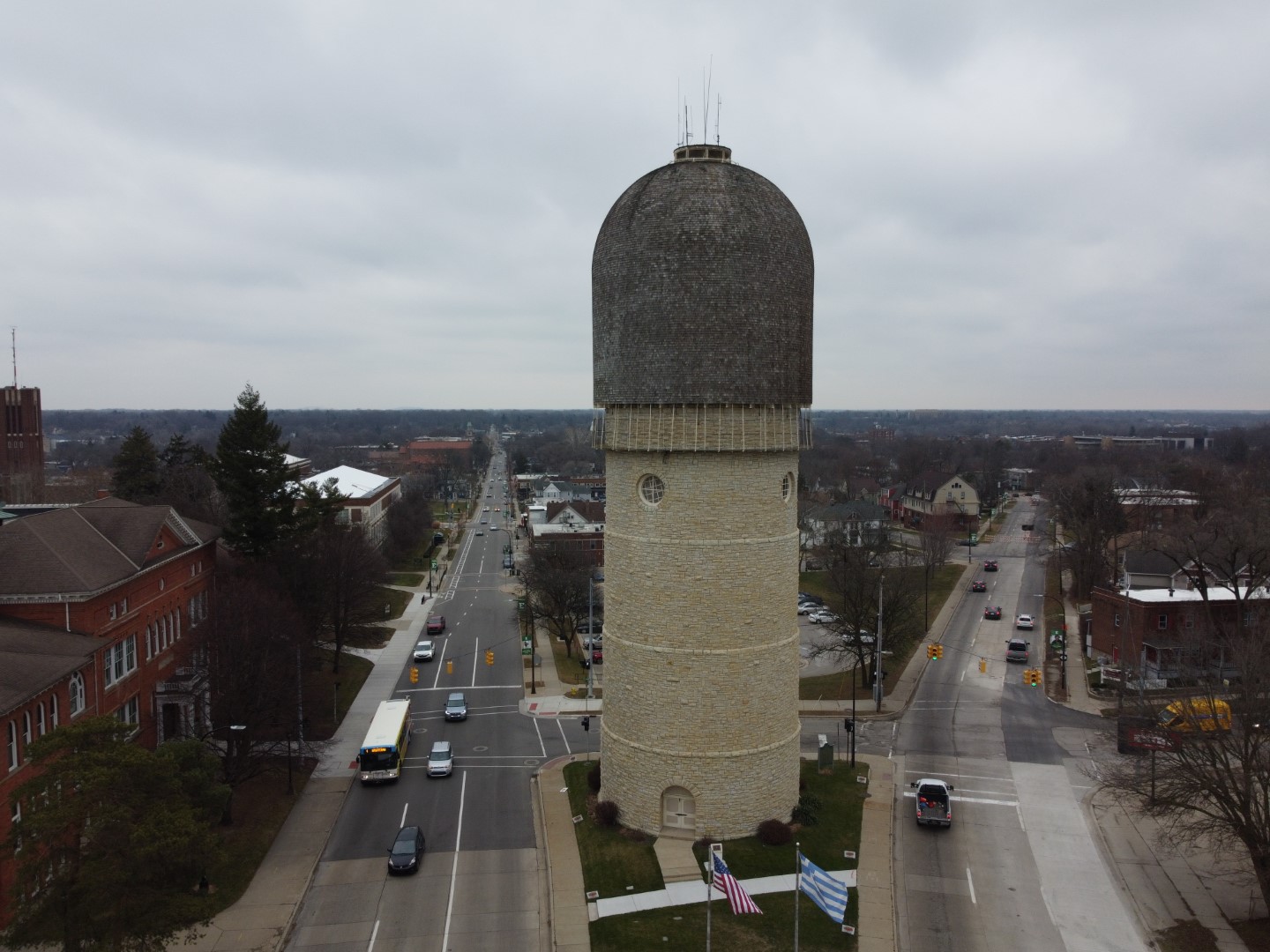
Not your typical design, but it does catch your eye. Constructed in 1890 and built of stone.
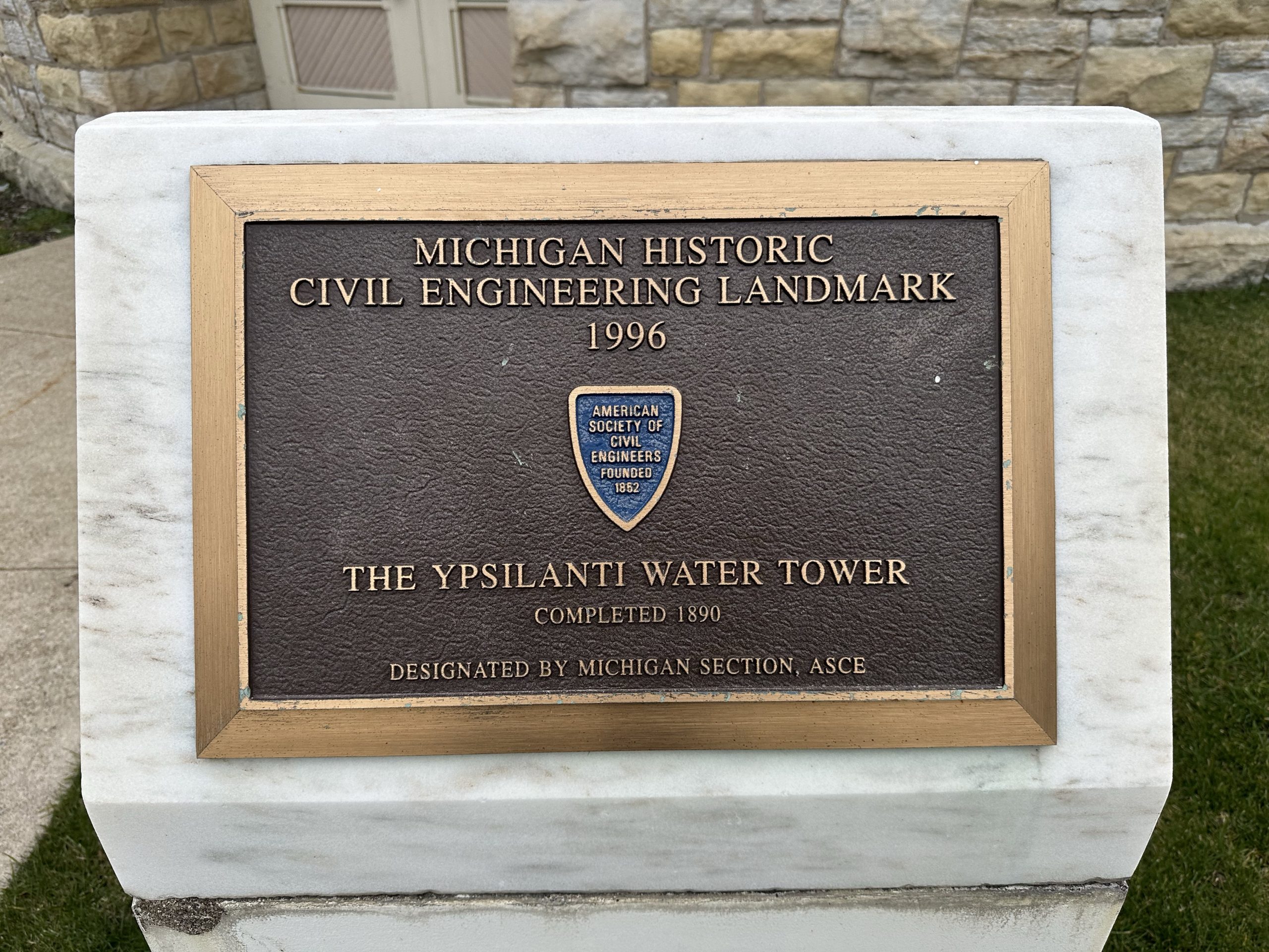
Address: 303 N Summit St, Ypsilanti, MI 48197 Architect: William R. Coats Opened: 1890 Height: 147? Area: 13,070 ft² Added to NRHP: October 26, 1981 NRHP Reference Number: 81000318 (National Register of Historic Places)
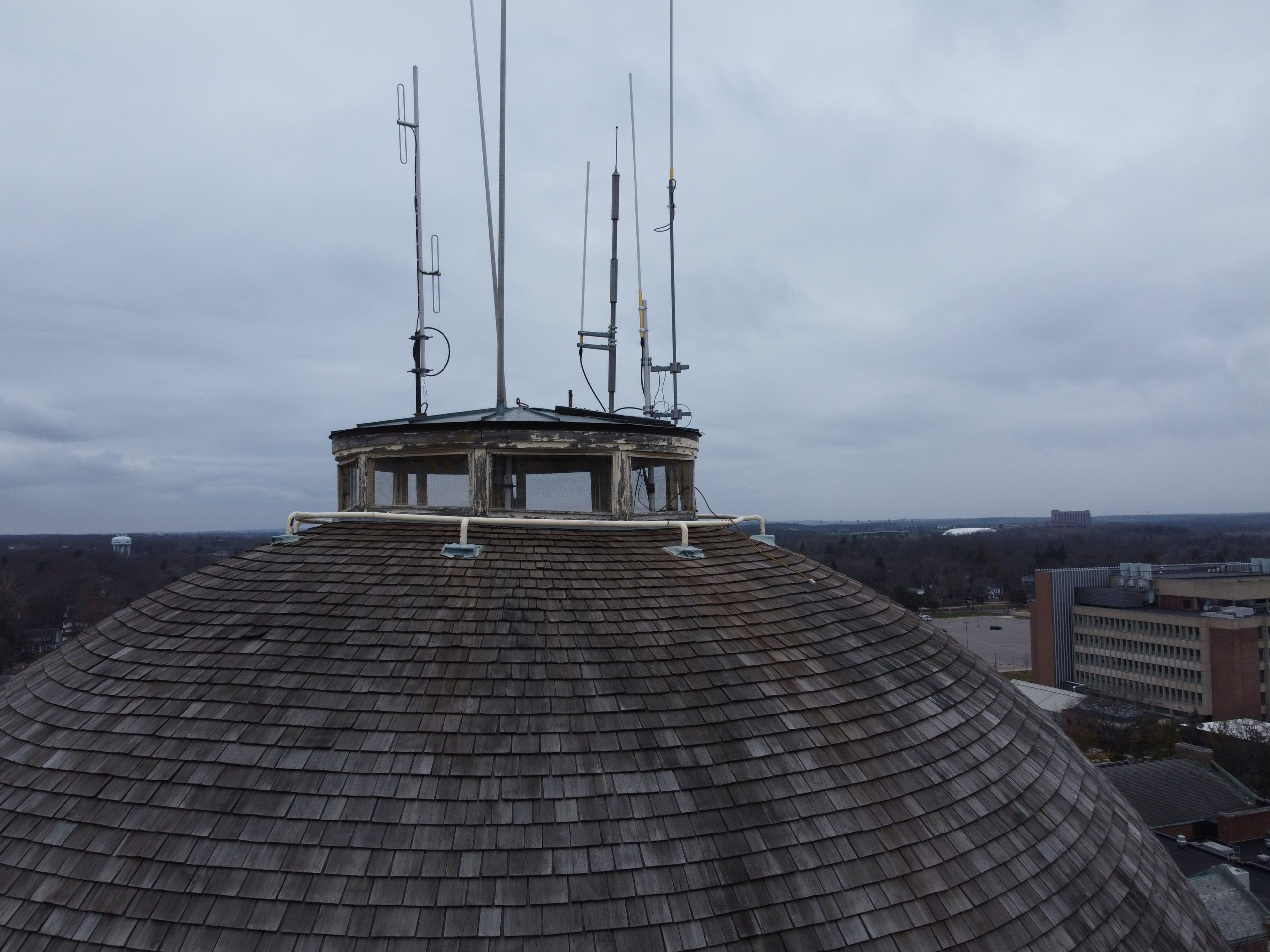
The Water Tower looking to the West.The observation cupola on top of the water tower.
On the very top, and probably unknown to most people, there appears to be viewing windows. Probably is a pretty nice view from there!
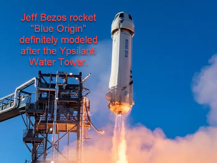
I think Ypsilanti designers were way, way, ahead of their time! It certainly appears Blue Origin copied their design!
Finally, just playing around with looking at things differently. Start with DJI Mini 2 photos (about 150 of them) crunch them together in WebODM. While you can get a lot of outputs, this one is the “Dense Point Cloud”.
I have been trying to add it in the “raw” state to allow viewers to manipulate the file itself, but it requires a lot more skill than I have!
So I settled for making a video using OBS Studio, then putting it into Davinci Resolve, then finally running it through Hand Brake! While there are a lot of holes caused by overhanging areas, I was happy for a first attempt.