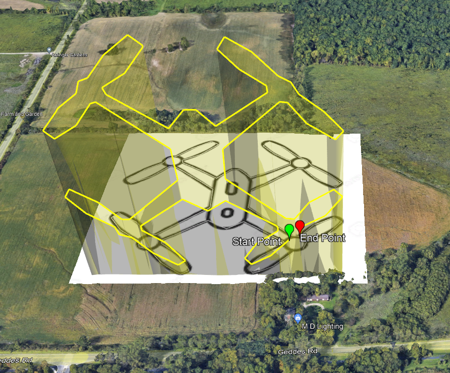
Playing with rotating flight plans 90° to do “Light Painting”
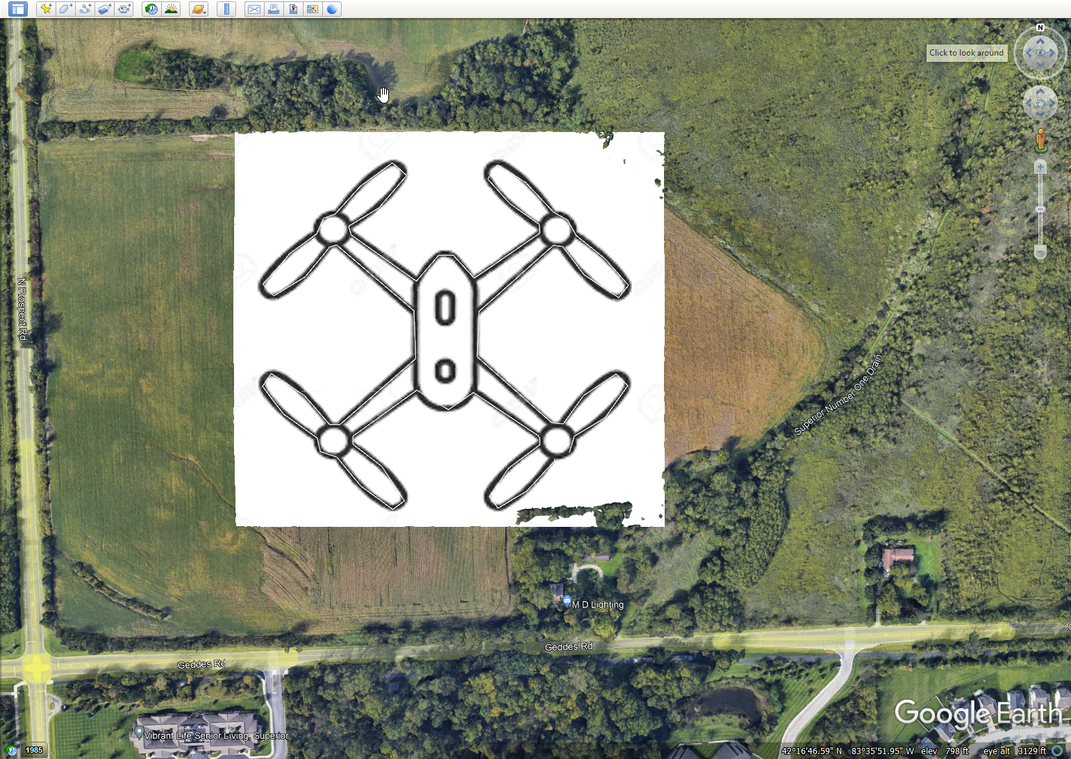
Started with simple image of drone.
Added it to Google Earth
Clicked around to make a path.
Exported as KML file, not KMZ.
Could have taken time to make a transparent PNG, but I didn’t. Works the same, unless you need to see ground to avoid obstacles.
Imported into Litchi. Since all the points are stacked up vertically it just appears as a straight line.

Exported back to Google Earth just to see what it looks like now. You can see it stands up vertically now, not flat like a standard mission plan.