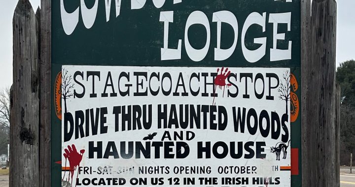
Stagecoach Stop an abandoned roadside attraction.

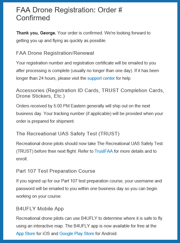
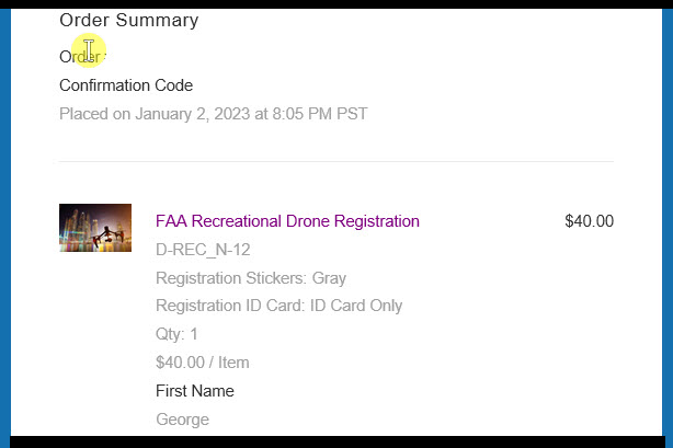
Sent my dollars in to the FAA to get officially registered. Not 100% convinced it was something I wanted to do, but seemed like I should, so I did. Regret it? I shall see!
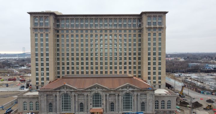
I flew the drone around the building that is being remodeled by Ford Motor Co for use as office space.
Obviously I did not realize how high the building was and did not get the drone high enough to get good photos of the top floors and roof!
I have edited by flight plan map and hopefully will capture the missing details when the weather is good enough to fly again.
I made a second attempt at this. Did a lot better, but looks like I was still to close to the roof to get good results. I think I was at and altitude of 350′ so not a lot more I can go.